
Topographic Mapping - Future Directions
4/10/15 11:48 AM
Topographic Mapping - Future Directions
TASMAP is the Tasmanian Government's base mapping service, with a long history of producing high quality mapping products, including a wide range of topographic series, national park and tourist maps, street atlas and other mapping products. TASMAP is managed by the Information and Land Services Division of the Department of Natural Resources and Environment Tasmania.
In 2011, TASMAP conducted a comprehensive online survey to:
- obtain a thorough understanding of client expectations, requirements and usage in relation to the content and distribution of current and future products, and
- provide a sound basis for future decisions.
The survey revealed that many clients were using in-car navigation systems, hand-held Global Positioning System devices, smartphones or Geographic Information System software to meet their mapping needs. In addition, almost half of all respondents indicated that they would like to be able to purchase digital maps.
Current trends in topographic mapping have since substantiated the results of the survey, identifying increasing global demand for digital mapping products and improved map currency, as well as the retention of traditional hard copy maps. Both TASMAP survey results and a rigorous analysis of recent trends have been key inputs into the development of Topographic Mapping – Future Directions. This is an exciting time for Tasmanian map users, as we aim to modernise our mapping products to meet projected client needs over the next decade.
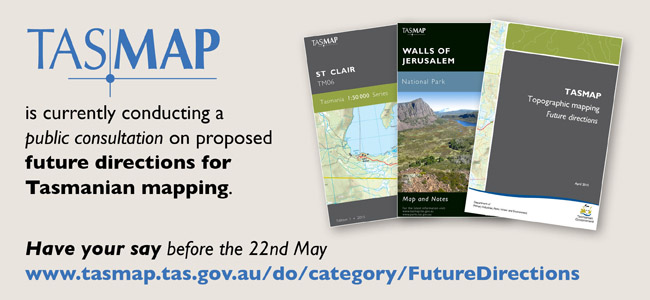
Before we finalise our new directions, we would really like to hear your views and encourage you to provide feedback on the proposals outlined in the Topographic Mapping – Future Directions document.
The Topographic Mapping - Future Directions document is available from the TASMAP website – TASMAP Future Directions.
The consultation period concludes on 22nd May 2015.
 .
.

